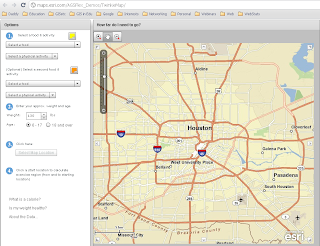
Have a look at this cool map interface! You can map snack foods as well as the nutritional choices as they relate to calories and physical activity.
What a great way to get students involved with the outdoors and have a snack!
Check it out at http://maps.esri.com/AGSFlex_Demos/TwinkieMap/!

